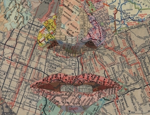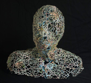
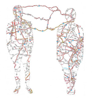
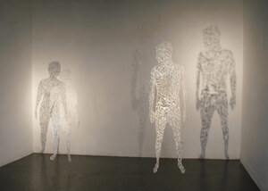
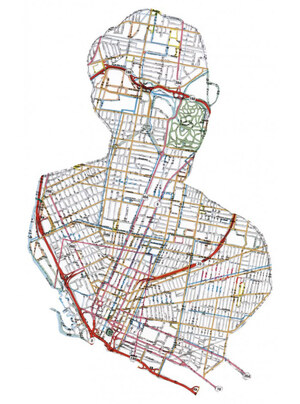
Cut Map: road-maps sliced-up to resemble the faces and figures of the subjects of artist Nikki Rosato, who explains:
The lines on a road map are beautifully similar to the lines that cover the surface of the human body. In my most recent work involving maps, as I remove the landmasses from the silhouetted individuals I am further removing the figure’s identity, and what remains is a delicate skin-like structure. Through this process, specific individuals become ambiguous and hauntingly ghost-like, similar to the memories they represent.
Previously, this.



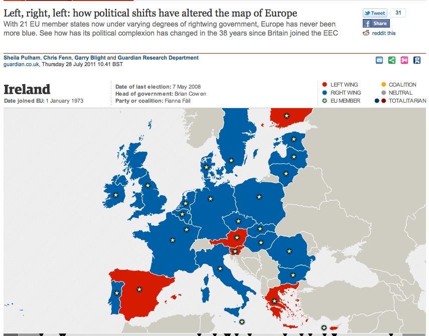 And marvel instead at the the Guardian’s amazing interactive map of Europe’s political direction in the last 38 years.