



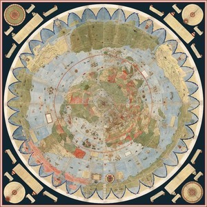
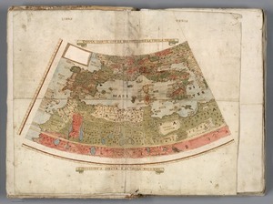
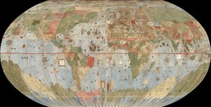
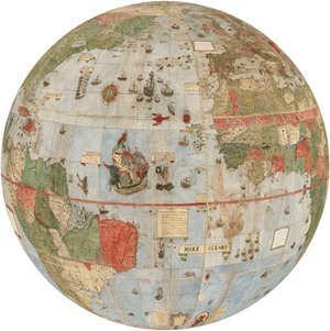
Behold: the largest known early map of the Earth, created in the form of 60 panels designed to be assembled into a large circle by Italian cartographer Urbano Monti in 1587. A manuscript of all 60 panels, recently acquired by the David Ramsey Map Centre, can be viewed in digitised detail here.
Of great interest is the attempt Monte makes to make his map not just a geographical tool but to show climate, customs, length of day, distances within regions — in other words, to create a universal scientific planisphere. In his dedication on tavola XL he specifies how to arrange the sheets of the mappamondo and makes it explicit that the whole map was to be stuck on a wooden panel 5 and a half brachia square (3.25m) so that it could be revolved around a central pivot or pin through the north pole.
And if you want the full 3D experience, a fully zoomable and rotatable globe visualisation of Monti’s map (Pic.5, above created by Jeremy Ashkenas) can be played with here.

Couldn’t be the earliest spherical map – unless you meant first of its kind created as panels for assembly? But then the globe, as an object, was invented in the late 15th Century.
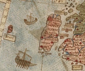
Anyway, it’s lovely. Up the Dublinos. Which kind suits when you emphasise the ‘i’.
Are you saying they DIDN’T have the technology to digitally scan a flat map and then create a spherical visualisation of it back in the late 16th century?
Because that is crazy talk
mayo has dropped off the face of the earth… no change then
Seriously, I wonder if, given that this was done as a circle, this could be the origin of the flat earth theory?
flat earth theory originated in the deranged minds of alt right creationists, may they die of measles
Titter, the North seems to be completely covered in Patricks purgatory….
Great work though Chompsky, very interesting.
disappointing that Wales resembles a massive droopy penis
I didn’t realise Brazil was so close to Ireland. ……Grabs bag and sunglasses.