Tag Archives: cartography

Screen Shot 2015-01-15 at 12.10.20tumblr_ni6m5uSjEp1qz6f9yo6_1280 tumblr_ni6m5uSjEp1qz6f9yo2_1280tumblr_ni6m5uSjEp1qz6f9yo3_1280 tumblr_ni6m5uSjEp1qz6f9yo7_1280 tumblr_ni6m5uSjEp1qz6f9yo8_1280 Screen Shot 2015-01-15 at 12.08.05 Screen Shot 2015-01-15 at 12.07.02 Screen Shot 2015-01-15 at 12.06.32

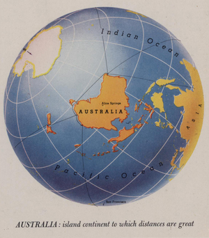
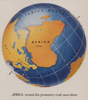
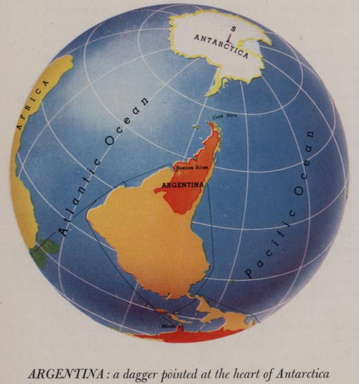
A series of maps featured in Look At The World: The Fortune Atlas Of World Strategy (1943) by renowned US cartographer Richard Edes Harrison – skillfully hand drawn views of the globe (the precursors to modern satellite images) for the ‘air age’.

World War 2 Led To A Revolution In Cartography. These Amazing Maps Are Its Legacy (New Republic)

thisisnathappiness


View Dereliction – master in a larger map

Put together by @eoinomahony, @janeruffino, @strongthomas, @Neidi and @CiaranStaunton, the above map contains the locations, pictures and descriptions of various derelict building around Dublin. There’s a heavy skew towards the northside.

Anyone feel like doing a similar map of Cork, Galway or Limerick?

Right so.

[via Richard Cantwell]